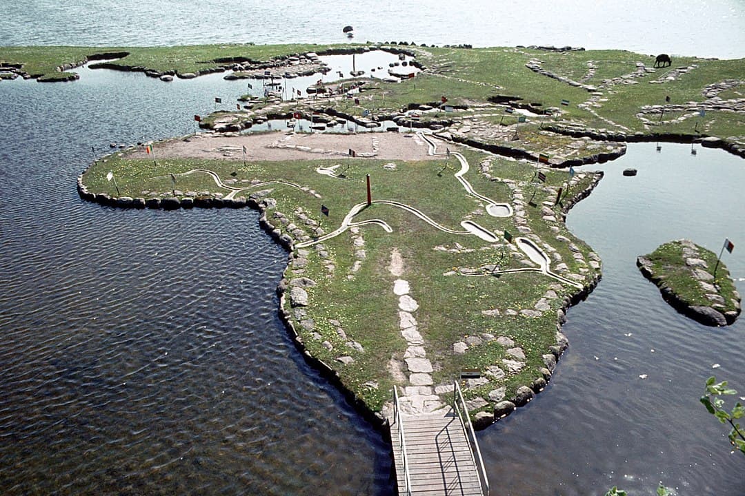
Back in 1944, the Danish-American Søren Poulsen was in the process of draining the meadows around his childhood home by Klejtrup Lake southwest of Hobro. Here he found a stone that looked like Jutland, and then the idea for the World Map arose.
The Jutland stone that started it all
In the years from 1944 and until his death in 1969, Søren Poulsen expanded the map with primitive aids and by hand. And thanks to Poulsen's idea and efforts, today you can take the whole family around the world in just a single day!
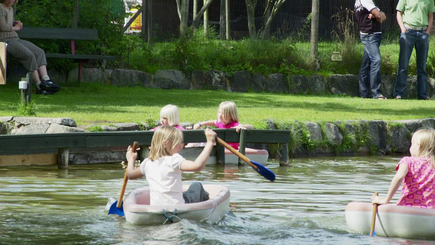
The world map is a family-owned attraction, and today it is the 3rd and 4th generation that welcomes you. They have further developed the place, so that today the kids also have the opportunity to pet animals, jump on bouncy castles, find their way through the maze and go on a treasure hunt. There is lots of fun hidden here. Many families spend approx. 3 hours here.
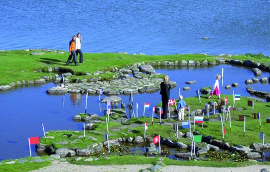
The world in mini format measures a full 45 x 90 meters.
A family with children can easily spend 3 hours here, as there are many experiences in addition to the card itself.
More tips for North Jutland?
Use our guide to North Jutland, where we have collected a handful of good ideas and tips for experiences, places to eat and accommodation in North Jutland.