If you are hiking, then Tranum-Fosdalen in Jammerbugt is a must. The hiking route offers spectacular scenery in a varied terrain, which means that the route is only 1 in 4 “premium hiking routes” in Denmark, according to. it recognized the Deutsches Wanderinstitut.
How the tour can achieve this title, you can get the feel of this little video:
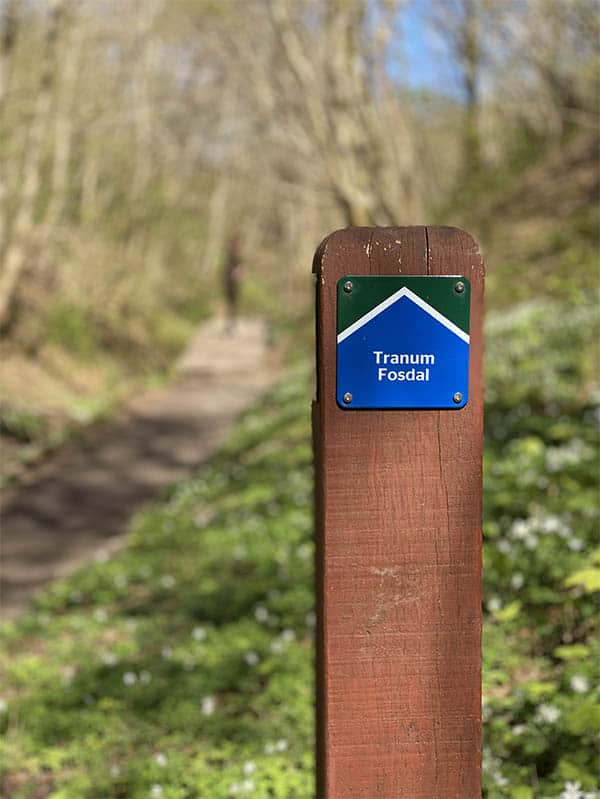
The route
If you are going on the route yourself, you can use our digital map here:
The hike
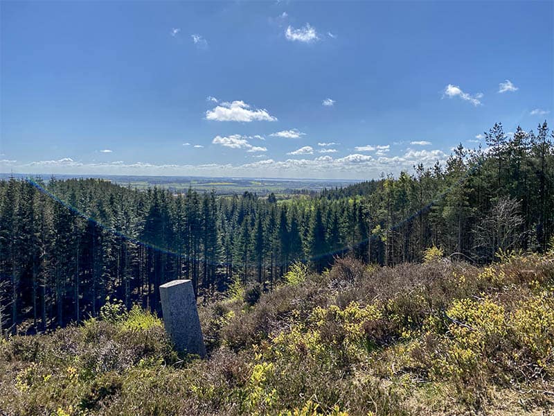
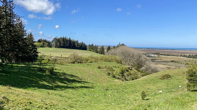
The view from Bavnehøj. The highest point of the trip.
The hike is just over 11 km and extends from the forest in Tranum over the highest point of Jammerbugten Bavnehøj and on through Ingeborgs Bakker to Fosdalen. The return trip takes place along the upper edge of Lien with a tour of the Langdalen and a nice view of the North Sea.
The tour can be started both in Tranum and in Fosdalen, and it is possible to shorten the route in several places along the way.
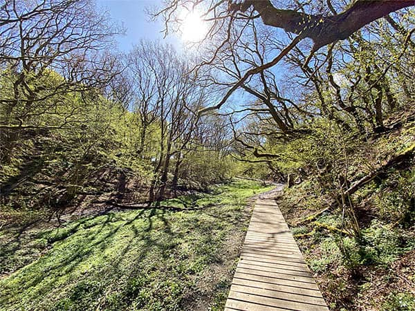
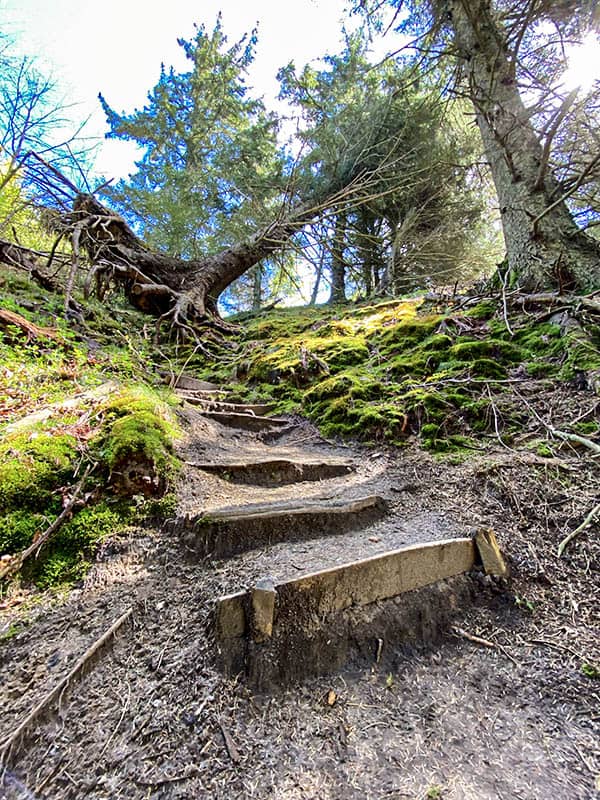
Note that despite good trails in the Fosdalen, there can still be a little swampy.
The beautiful Fosdal with good walkways (most of the time)
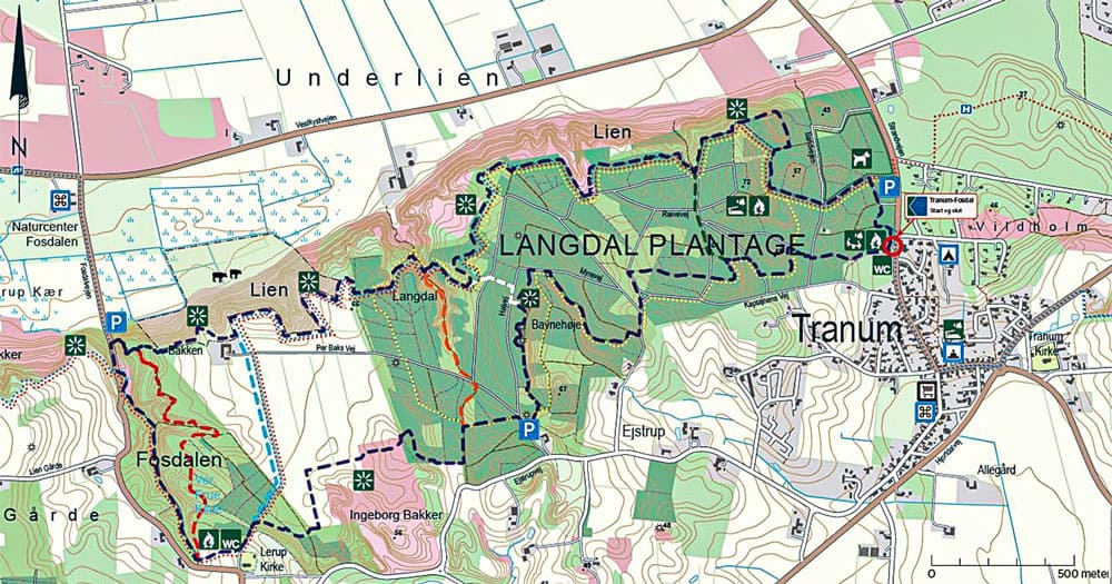
Map
The route is well marked along the way, but you can use this card with regard to parking, starting points, viewpoints etc.
(click to enlarge)
bonus
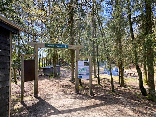
At the start site there is a natural playground for the kids and the opportunity to make bonfires
Svinkløv Badehotel is close by if you want to be pampered before / after the tour. It is often fully booked here, but for lunch it is easier to get to
Suggestions for improved marking to halve the route from both ends
It is a fantastically beautiful trip that is also nicely marked if you take the ENTIRE trip at once. For us, it is a challenge that “mom” has slightly sore knees. And the trip IS quite hilly.
As locally known tourists, this summer we made the trip from Fosdalen towards Tranum along the northernmost route. That is, the one that goes closest to the slope.
When we got to Langdalen, as we know it, we went up it to Peter Barksvej. But there was no signage showing that it could be "smart". So we walked along the dirt road back.
Yesterday we wanted to take the same trip from behind and now followed the signs from Lerup Church. That way we found the official other way.
When we got to the place where I thought we were close to Langdalen, we walked along a path marked as a red walking route to Langdalen.
My suggestion is that you get marked in both places (ie at the bottom of Langdalen and up by Peter Barksvej), how you can "halve the trip" and get back to your car.
We know the trip from the planter's home to Tranum and back quite well in advance, but we must have tried the official marked trip. Maybe later today.
The message: It can be better marked how you can possibly "halve" the trip at Langdalen from both ends.
Langdalen is currently a bit difficult to pass due to a few fallen trees.
Regards
Sussanne and Viggo Bækgaard